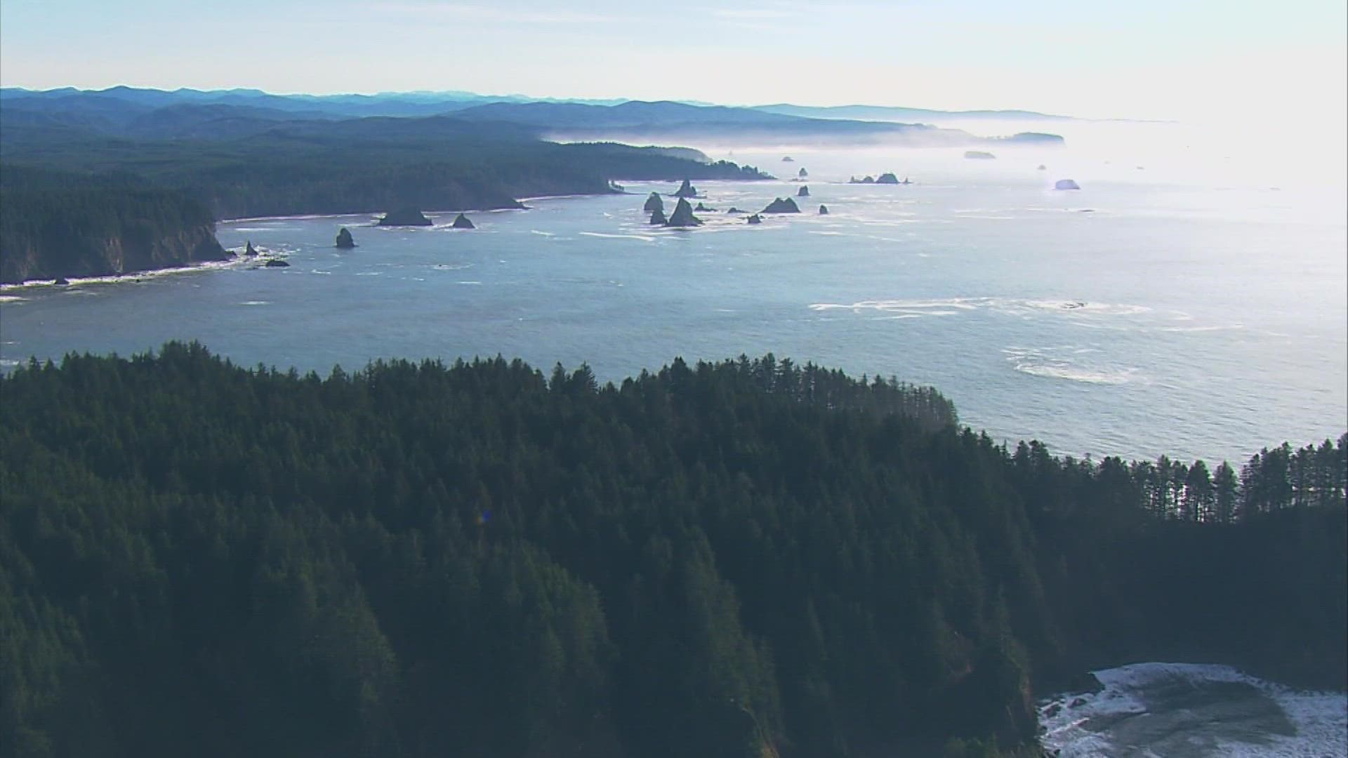
OLYMPIA, Wash. — Newly released maps from the Washington Department of Natural Resources provide insight into what the coast of Washington may experience following a 9.0 earthquake. A significant earthquake is predicted to occur within the next 50 years, according to experts.
According to charts, a tsunami caused by an earthquake of magnitude 9.0 would engulf low-lying coastal settlements in anywhere between 30 and 100 feet of water.
The maps, however, go beyond this; they also consider how quickly that water will move.
Visit the Washington Geological Survey website to see the maps.
According to Corina Allen, Chief Hazards Geologist for the Washington Geological Survey, "understanding the currents and where they're the quickest, is quite critical."
Water can move at speeds of up to 30 mph, or more than 25 knots.
A fault that extends from Cape Mendocino in California all the way to British Columbia, the Cascadia Subduction Zone, saw its last magnitude 9.0 earthquake off the northwest coast on January 26, 1700.
It is known as a subduction zone because the North American Plate, which encircles the continent of North America, is being pushed and tugged beneath a layer of the earth's crust that makes up the ocean floor.
These faults, which produce the biggest known earthquakes on the planet, encircle the entire Pacific rim.
The Cascadia Subduction Zone has been the least active for the longest time and is thought to be close to rupturing once more, although it might be another century or more away. Off the coast of northeastern Japan, a significant earthquake and tsunami struck in March 2011.
Washington is still at risk from tsunamis brought by by earthquakes or underwater volcano eruptions thousands of miles away.
Harold Tobin, who has spent decades researching subducting faults and tsunamis, said that when people hear about one to three foot waves, they tend to assume it's not a huge concern because he regularly encounters waves that size. The two are not the same. A tsunami is a surge of water, much like a tide. Tobin is the director of the Pacific Northwest Seismic Network at the University of Washington as well as the seismologist for Washington State. It is moving quicker than you can keep up with it.


 Sound Seismic